
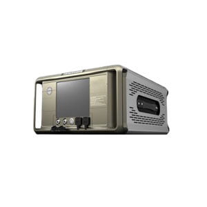
Gyro Tools FOG
ER-FOG-60C (≤0.3°/h) (φ64) Features:
1. Dimension: φ64*450mm;
2. Bias stability: ≤0.3 (°)/h;
3. Measuring range: ±100 (°)/s.
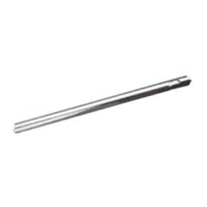
ER-FOG-60C (≤0.3°/h) (φ64) Features:
1. Dimension: φ64*450mm;
2. Bias stability: ≤0.3 (°)/h;
3. Measuring range: ±100 (°)/s.
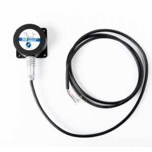
ER-TS-5270VO Features:
1. Two axis tilt monitoring;
2. Stable accuracy of 0.05°;
3. Dynamic measurement accuracy of 0.3°.
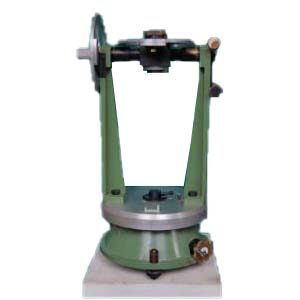
ER-GTCS-01 (0°~180°± 2′):
1. Very high precision;
2. Robust structure;
3. Excellent stability.

ER-TS-5275CA Features:
1. Two axis tilt monitoring;
2. Stable accuracy of 0.05°;
3. Dynamic measurement accuracy of 0.3°.
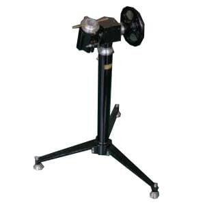
ER-GTCS-02 (0°~180°± 0.1°):
1. Light weight structures;
2. Easy to use;
3. Non-magnetic.
ER-TS-5276DI Features:
1. Two axis tilt monitoring;
2. Stable accuracy of 0.05°;
3. Dynamic measurement accuracy of 0.3°.

ER-TS-42500 Features:
1. Accuracy: 0.1°, resolution: 0.01°;
2. Wide temperature work: -40~+ 85℃;
3. Biaxial monitoring (uniaxial optional).
ER-TCT-03 Features:
1. Adopts UOT mesa structure;
2. Table or load mounting tooling can be customized.
ER-TS-52400 Features:
1. Accuracy: 0.3°, resolution: 0.05°;
2. Biaxial monitoring (uniaxial optional);
3. Ultra-low power consumption.
ER-TS-5278CU Features:
1. Two axis tilt monitoring;
2. Stable accuracy of 0.05°;
3. Dynamic measurement accuracy of 0.3°.

ER-PMINS (±3°) Features:
1. Long time high precision navigation technology (100h+);
2. High precision correction technology in mark spot;
3. Spiral trajectory error compensation technique;
4. Closed pipe "special situation" processing technology;
5. Pipeline environmental adaptability technology;
6. Accurate positioning in pipeline surveying and mapping.
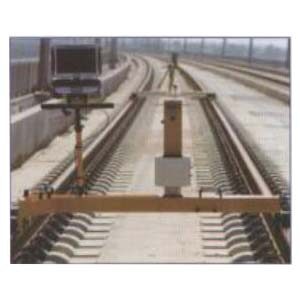
ER-RTINS Features:
1. Accuracy of submillimeter measurement;
2. High precision long side railroad track smooth-going characteristic measurement;
3. Recognition and processing technology in the special situation;
4. A lot of interface choices.
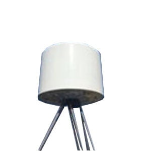
ER-MA-07 Features:
1. Tracking in Challenging Environments;
2. Strong Anti-interference Performance;
3. More Ruggedized for Long Lasting Durability.
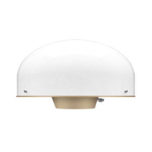
ER-MA-08 Features:
1. High Phase Center Stability;
2. Tracking in Challenging Environments;
3. More Ruggedized for Long Lasting Durability.
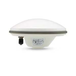
ER-MA-09 Features:
1. High Phase Center Stability;
2. Tracking in Challenging Environments;
3. Small Size and Light Weight.

ER-AUR-01 Features:
1. "Low, small, slow" target detection;
2. All-weather work ability;
3. Networking capability.
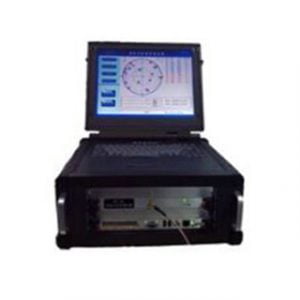
ER-S-300 Features:
1. Satellite constellation hybrid simulation;
2. Path simulating;
3. Environment simulating;
4. Man-machine interaction.
ER-S-4000 Features:
1. A variety of controllable interference signal types;
2. Real-time controllable power and modulation;
3. Modular design to easily expand the number of interferers.

ER-AUR-02 Features:
1. Module design: detection system using modular design, you can freely select the detection system;
2. Mainstream frequency band suppression: convert the mainstream radio communication band;
3. Standard electricity: equipment using standard 220V mains, no power equipment.
ER-AUR-03:
1. Module design: product detection system adopting modular design, the system can be freely selected;
2. Main band suppression: detection and interference, covering the mainstream radio frequency band;
3. Standard city electricity: the equipment uses the standard 220V electricity, not power electric device.

ER-AUR-04 Features:
1. Use rapidly: boot into work state, without waiting;
2. Frequency coverage: support for multiple frequency interference, covering mainstream (UAV) spectrum;
3. Power supply lasting: using lithium batteries, electromagnet change the design, long time outdoors.
ER-AUR-05 Features:
1. Large airspace targets detection;
2. Distinguish between ground and air targets;
3. Networking capability.
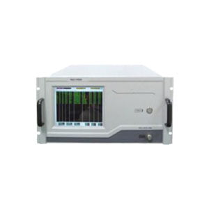
ER-S-4100 Features:
1. Flexible, easy-to-use control software;
2. Outstanding short message communication capabilities, with positioning and timing functions;
3. Ransmit and receive of inbound and outbound signals capable of simulating the BeiDou system.
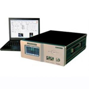
ER-S-8000 Features:
1. The basic support of satellite navigation signal simulation;
2. The basic support receiver antenna modeling, simulation vector rotation;
3. The basic simulation with the Beidou satellite navigation system, has an evaluation software.