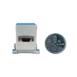
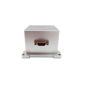
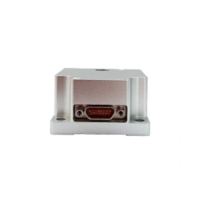
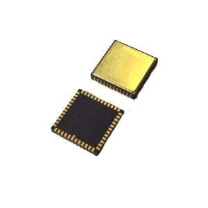
Tunnel engineering requires precise mapping and surveying tools to ensure successful project execution. Key tools include total stations and GPS/GNSS for accurate measurements, laser scanners and LiDAR for detailed 3D mapping, and geophysical instruments like GPR for subsurface investigation. What's more, IMUs, INS, and north finders are valuable tools. IMUs provide accurate positioning and orientation data, essential for navigation, positioning, and monitoring within tunnels where GPS signals are unreliable. They enhance the accuracy of survey instruments and contribute to 3D modeling.
North finders, or gyrocompasses, determine true north, ensuring precise alignment and orientation of tunnel boring machines and construction equipment. They improve surveying accuracy, assist in georeferencing, and ensure consistent project alignment. Together, these tools enhance the precision and reliability of tunnel engineering projects.


