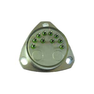
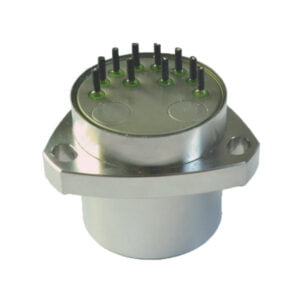
The global inertial navigation system market exhibited moderate growth during 2015-2020. Looking forward, the publisher expects the global inertial navigation system market to grow at a CAGR of around 5% during the forecast period (2021-2026).
Strong market demand
1. The inertial navigation market is currently growing in demand from multiple sectors such as Marine, aviation, vehicles, UAVs and satellite applications. The global market is expected to reach $14 billion by 2028.
2. With the rapid development of Internet of Things technology, inertial navigation is widely used in leading cities such as intelligent logistics and autonomous driving, among which the autonomous vehicle market will become the biggest growth point, and the market size is expected to reach 5 billion US dollars by 2023.
3. In the international market, technologically advanced countries such as the United States, Europe and Japan still occupy the leading wall position. However, China is gradually maturing in high-end inertial navigation technology and applications, and it is expected that by 2023, China's inertial navigation market will reach 20.1 billion US dollars.
Main reasons :
High condition positioning requirements: inertial guidance technology has the characteristics of high precision, high reliability and strong anti-interference ability. It is suitable for application scenarios that require accurate positioning, such as satellite navigation, aircraft immittance, automatic driving, etc.
Cost reduction: With the continuous development and popularization of inertial navigation technology, its cost is gradually decreasing. Many civilian and military aircraft are now equipped with inertial navigation systems, and they are becoming more affordable,
Application field expansion: Inertial navigation technology is not only in traditional aviation. Space. Marine and other fields have been widely used. Increasingly, cars are involved. Medical, smart home and other fields. The application of these fields has also promoted the growth of market demand.
In short, inertial navigation technology has the characteristics of high precision, high reliability and strong anti-interference ability, which is suitable for the application scenarios requiring accurate positioning. With the advancement of technology and cost, the market demand continues to grow.
An Inertial Navigation System (INS) is a navigation system that calculates velocity, gravitational force and directional orientation of a moving object. It is a computer-based mechanism that primarily includes motion sensors, accelerometers and gyroscopes. The gyroscope measures the angular velocity of an object such as drones, ships and aircraft using sensors, whereas the accelerometer measures the degree of change in their speed. Based on these derivations, the object's direction and relative position are estimated. The INS finds extensive applicability in the production of guided military weapons and commercially produced games, cameras, computers and medical appliances.
The growing demand for Unmanned Underwater Vehicles (UUV) is the key factor driving the growth of the market. UUVs are extensively used in oil and gas explorations, scientific research and defense weaponry that require high precision to function. In the defense sector, they are used for deactivating underwater mines, counterattacking, port security and hull inspection. In scientific research, underwater drones assist in oceanographic studies for the mapping of the ocean bed. Furthermore, with the rising oil consumption across the globe, UUVs are increasingly being used for oil rig constructions, pipeline inspections, and maintenance activities, thereby fueling the demand for the product.
Additionally, the thriving aerospace sector is another factor contributing to the growth of the market. Advancements in space research and increasing satellite launches have enhanced the utilization of these navigation systems that are necessary to measure the velocity and altitude of an object accurately. Moreover, various technological advancements such as the introduction of light-powered and compact-sized navigation systems, which utilize ring laser gyro (RLG) and fiber optic gyro (FOG), are also creating a positive outlook for the market.
More Technical Questions
1.What is INS and How does it Work?
2.Inertial Navigation System (INS)
3.Differences between IMU, AHRS, VRU and INS
4.In Autonomous Flight: How Inertial Navigation Systems Work
5.Development and Application of Inertial Navigation System
6.MEMS and FOG: How Should you Choose Inertial Navigation System?
Products in Article
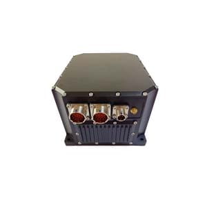
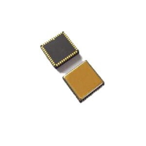
.jpg)
