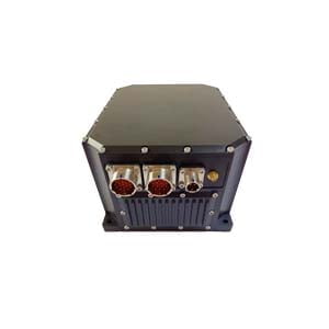
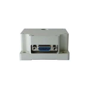
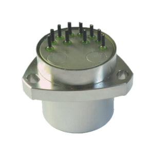
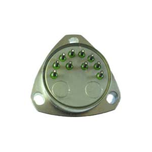
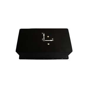
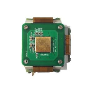
Inertial navigation system (INS) is an auxiliary navigation system that uses accelerometers and gyroscopes to measure the acceleration and angular velocity of objects, and uses computers to continuously estimate the position, attitude and velocity of moving objects. It does not need an external reference system and is often used in aircraft, submarines, missiles and various space vehicles.
Principle
Inertial navigation at least includes a computer and a platform (or module) containing an accelerometer, gyroscope or other motion sensors. In the beginning, the initial position and speed are provided to the INS by the outside (operators and GPS receivers, etc.). After that, the ins continuously updates the current position and speed by integrating and calculating the information of the motion sensors. The advantage of inertial navigation is that after the initial conditions are given, the current position, direction and speed can be determined without external reference.
By detecting the acceleration and angular velocity of the system, inertial navigation can detect position changes (such as eastward or westward movement), speed changes (speed magnitude or direction) and attitude changes (rotation around each axis). The feature that it does not need external reference makes it naturally free from external interference or deception.
The gyroscope is used to measure the angular rate of the system in the inertial reference frame. By taking the initial azimuth of the system in the inertial reference frame as the initial condition and integrating the diagonal velocity, the current direction of the system can be obtained at any time. This can be imagined as a blindfolded passenger sitting in the car, feeling that the car turns left, right, uphill and downhill. Only based on this information, he knows where the car is going, but he does not know whether the car is fast, slow or whether the car is sliding to the roadside.
The accelerometer is used to measure the linear acceleration of the system in the inertial reference frame, but it can only measure the acceleration relative to the moving direction of the system (since the accelerometer is fixed to the system and rotates with the system, it does not know its own direction). This can be imagined as a blindfolded passenger squeezing the seat backward when the car accelerates, leaning forward when the car brakes, pressing the seat down when the car accelerates uphill, and jumping up from the seat when the car goes uphill. Based on this information only, the passenger knows how the car accelerates relative to itself, that is, forward, backward, upward, downward, left or right, but does not know the direction relative to the ground.
However, by tracking the current angular rate of the system and the current line acceleration measured relative to the motion system, the current line acceleration of the system in the reference frame can be determined. Taking the initial velocity as the initial condition, and applying the correct kinematic equation, the inertial acceleration can be integrated to obtain the inertial velocity of the system , and then taking the initial position as the initial condition, the inertial position can be obtained by integrating again.
Small errors of the inertial navigation sensor will accumulate into large errors with time, and its error is generally proportional to time, so it needs to be corrected continuously. Modern inertial navigation uses various signals (such as global positioning system and magnetic compass) to correct them, and adopts the cybernetic principle to filter different signals at weight level to ensure the accuracy and reliability of inertial navigation.
Application
Inertial navigation (INS) is used in various moving machines, including aircraft, submarines, space shuttles and other transport vehicles and missiles. However, the cost and complexity limit its application.
Inertial navigation was first used in rocket guidance, and American rocket pioneer Robert Godard tested the early gyro system. During World War II, it was improved by German von Braun and applied to V-2 rocket guidance. After the war, research institutions and personnel such as the Massachusetts Institute of technology in the United States carried out in-depth research on inertial guidance, which developed into modern inertial navigation systems for aircraft, rockets, space shuttles and submarines.
Ericco provides FOG ins and MEMS ins solutions. Our ER-FINS-70 high performance & low cost fog ins sell well. If you want more technical data and quotations, please feel free to contact us!
More Technical Questions
1.Inertial Navigation System (INS)
2.What is Inertial Navigation System?
3.In Autonomous Flight: How Inertial Navigation Systems Work
4.MEMS and FOG: How Should you Choose Inertial Navigation System?
5.Development and Application of Inertial Navigation System
6.Introduction to Inertial Navigation Systems
Products in Article
