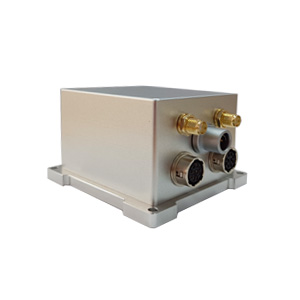
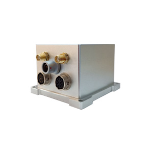
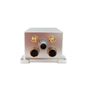
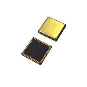
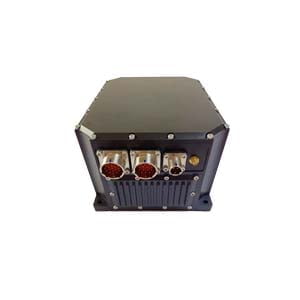
Each navigation system has its own uniqueness and limitations. If you choose to combine different systems together, you can use multiple information sources to complement each other and form a more accurate combined navigation system. This combined navigation system is often formed by combining the advantages of some single navigation systems. Therefore, it avoids the defects of using any single navigation system to a certain extent and has more advantages. Specifically:
Higher accuracy
The combined navigation system combines the information of multiple single navigation systems and can provide navigation information including attitude, speed, position and other full attitudes. It uses multiple positioning technologies to complement each other, thereby reducing errors and improving the accuracy of the navigation system.
Higher reliability
The biggest advantage of the combined navigation system is that it realizes the fusion of information from multiple single navigation systems. It is not only more accurate, but also can meet the working requirements in various environments, improving the reliability and applicability of the product.
Higher stability
The combined navigation system complements the advantages of multiple single navigation systems. When one of the navigation systems fails to work properly, it can continue to provide navigation services in other ways, thereby enhancing the stability of the product.
So, the combined navigation system has so many advantages, but facing the various products on the market, how should we choose? Today, I recommend three combined navigation products with their own advantages.
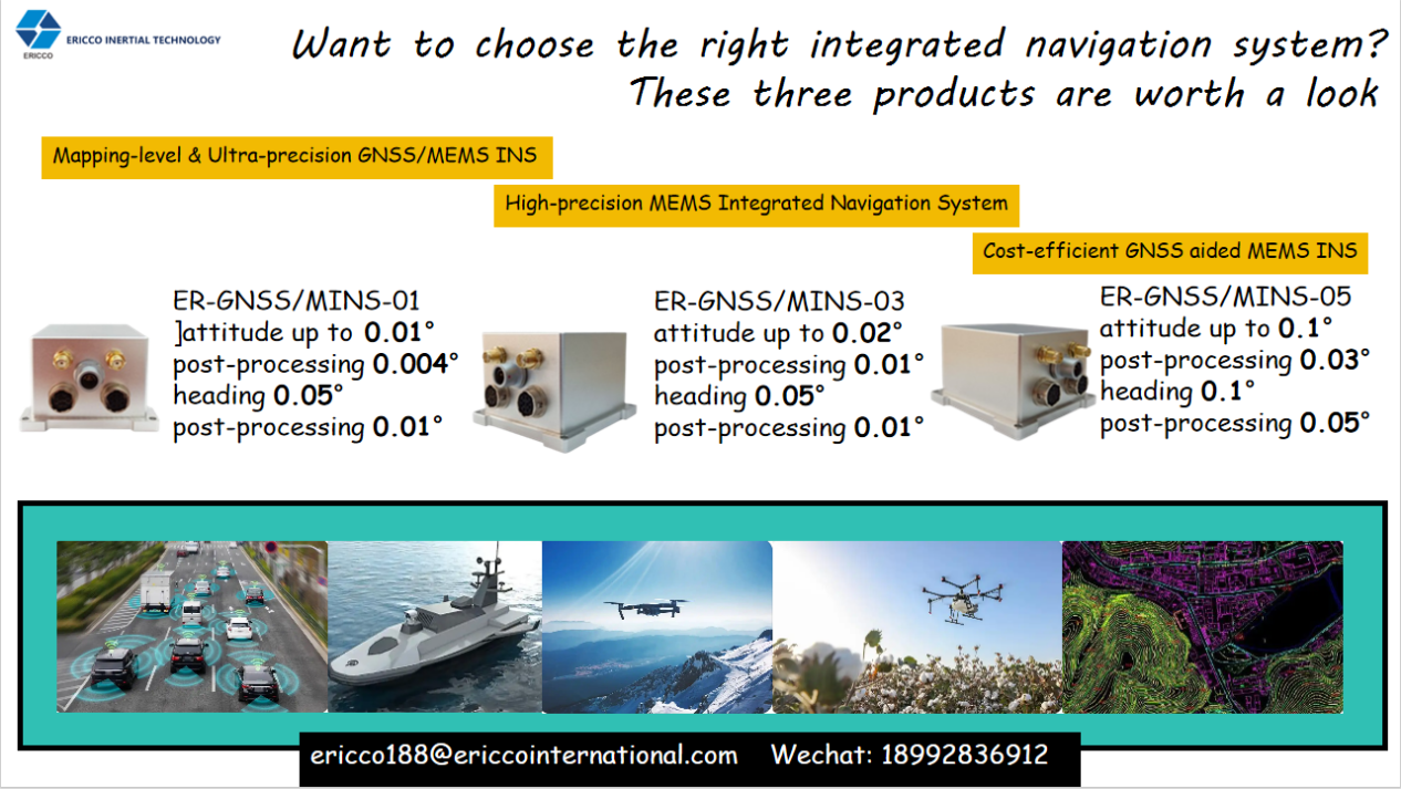
Ultra-high-precision GNSS/MEMS INS for surveying and mapping——ER-GNSS/MINS-01
Attitude accuracy: 0.01° (post-processing 0.004°)
Heading accuracy: 0.05° (post-processing 0.01°)
The most important advantage of the ER-GNSS/MINS-01 series of products is the ultra-high precision of the surveying and mapping level. The integrated navigation information provided is more accurate. For any field that requires high-precision integrated navigation products, including the surveying and mapping field, ER-GNSS/MINS-01 can do its job well. Even if it suddenly loses lock midway, it can still maintain temporary normal operation.
High-precision MEMS integrated navigation system——ER-GNSS/MINS-03
Attitude accuracy: 0.02° (post-processing 0.01°)
Heading accuracy: 0.05° (post-processing 0.01°)
The ER-GNSS/MINS-03 series of products comprehensively considers the performance and price of the products, while ensuring the performance of the products and taking into account the price of the products. In terms of application, even though it is not as high-precision as the ER-GNSS/MINS-01 series, the ER-GNSS/MINS-03 series products have still become the preferred combined navigation products in many industries. In the field of drones, the ER-GNSS/MINS-03 series products are also more suitable for various large and medium-sized drones.
Cost-effective GNSS-assisted MEMS INS——ER-GNSS/MINS-05
Attitude accuracy: 0.1° (post-processing 0.03°)
Heading accuracy: 0.1° (post-processing 0.05°)
The ER-GNSS/MINS-05 series products are the most cost-effective choice. They can be used in various large, medium and small drones and smart cars. At the same time, they are also benchmarked against ER-GNSS/MINS-01 and ER-GNSS/MINS-03, and can achieve dual-antenna orientation and independently complete GNSS-related data output. If you are looking for a product that can meet your requirements for price, performance and application at the same time, you might as well take a look at the ER-GNSS/MINS-05 series products.
More Technical Questions
1. What Is GNSS-aided MEMS INS and How Does It Work?
2. How to Improve the Performance of MEMS Inertial Navigation Systems?
3. Why Should We Use MEMS GNSS/INS?
4. Classification And Performance Improvement Of MEMS Gyroscope
5. MEMS Accelerometer Packaging Technology
6. Performance Analysis of GNSS RTK Timing


