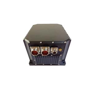
Inertial navigation system (INS) is by definition an autonomous navigation system that does not rely on external information or radiate energy to the outside. Its working environment includes not only air, ground, but also underwater. Generally speaking, the basic working principle of inertial navigation is that by measuring the acceleration of the carrier in the inertial reference frame, integrating it with time, and transforming it into the navigation coordinate system, information such as speed, yaw Angle and position can be obtained in the navigation coordinate system.
Structure
Inertial navigation system is a navigation parameter calculation system with gyroscope and accelerometer as sensitive devices. The system establishes a navigation coordinate system according to the output of gyroscope, and calculates the speed and position of the carrier in the navigation coordinate system according to the output of the accelerometer. To a certain extent, the inertial navigation system belongs to the calculated navigation mode. That is, the position of the next point can be calculated from the position of a known point according to the course Angle and speed of the moving body measured continuously, so that the current position of the moving body can be measured continuously.
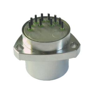
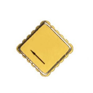
The gyroscope in the inertial navigation system is used to form a navigation coordinate system, the measurement axis of the accelerometer is stabilized in the coordinate system, and the heading and attitude Angle are given. To ensure the accuracy of the navigation coordinate system, ER-MG2-50/100 has a bias instability of 0.01-0.02°/hr and an angular random walk of 0.0025-0.005°/√hr, Designed for north finding, pointing, initial alignment/gyroscope tools, mining/drilling equipment, weapons/UAV launch systems, satellite antennas, target tracking systems, etc. Due to its high performance, the ER-MG2-50/100 can also be used for high-precision attitude measurement, stability control, positioning, navigation-grade MEMS IMU/ INS, land surveying/land mobile mapping systems, railway train systems, etc.
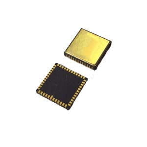
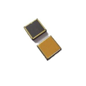
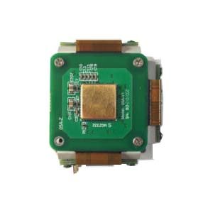
The accelerometer is used to measure the acceleration of a moving body, and the velocity is obtained by integrating time once, and the velocity is obtained by integrating time once. Accurate acceleration values require a high-precision accelerometer to provide the ER-MA-5 bias stability (1s standard deviation)(1σ)<20ug deviation monthly repeatability 200ug. It has the characteristics of small size, light weight and low energy consumption, and can be widely used in vibration detection, attitude control, security alarm, consumer applications, motion recognition, status recording and other fields. The accelerometer is combined with a gyroscope and magnetometer to form an inertial measurement Unit (IMU).
Inertial navigation systems(INS) have the following major advantages.

(1) Since it is an autonomous system that does not rely on any external information and does not radiate energy to the outside, it is well concealed and unaffected by external electromagnetic interference
(2) It can work globally and at full time throughout the day. On the surface of the Earth and even underwater.
(3) It can provide position, velocity, heading and attitude angle data. The generated navigation information has good continuity and low noise.
(4) High data update rate, short-term accuracy and stability.
The disadvantages are:
(1) As the navigation information is generated after integration, the positioning error increases with time and the long-term accuracy is poor
(2) Longer initial alignment time is required before each use
(3) The price of the equipment is Expensive
(4) Cannot give time information.
More Technical Questions
1.Inertial Navigation System (INS)
2.What is INS and How does it Work?
3.What is Inertial Navigation System?
4.In Autonomous Flight: How Inertial Navigation Systems Work
5.Development and Application of Inertial Navigation System
6.MEMS and FOG: How Should you Choose Inertial Navigation System?
Products in Article
