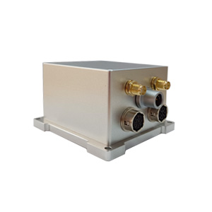
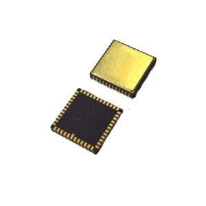
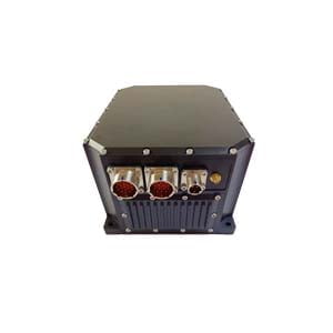
The integrated navigation system of GNSS+INS can make up for the signal defects and low satellite refresh rate of satellite navigation and improve navigation continuity. And the high-precision INS can keep working for a short time when GNSS loses lock.
GNSS+INS integrated navigation is widely used in applications such as large and medium-sized unmanned aerial vehicles, mobile surveying and mapping, geographic information collection, and autonomous driving due to its sustainable navigation, high accuracy, and high autonomy.
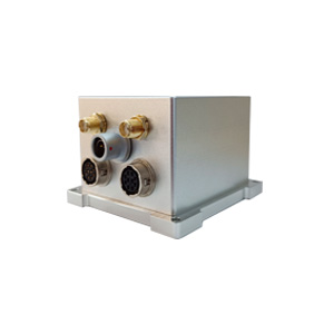
Our high-precision integrated navigation ER-GNSS/MINS-03 can provide continuous high-precision position, speed and attitude (roll, pitch and yaw) information.
**High-precision navigation**
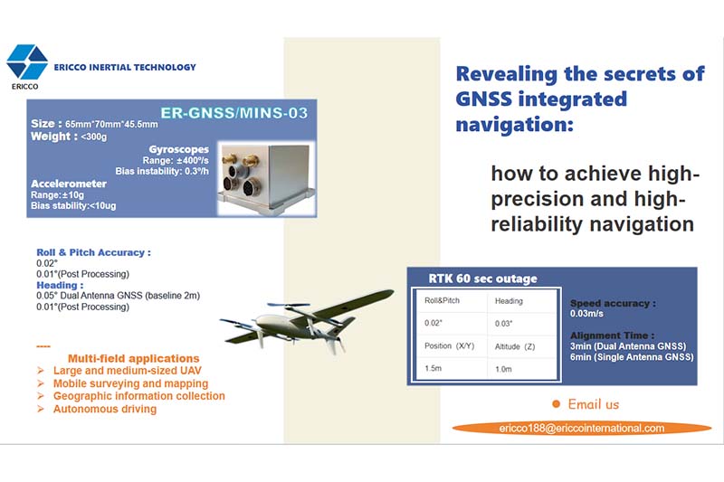
The combined navigation information provided has a roll and pitch accuracy of up to 0.02°, and post-processing 0.01°. The heading can reach 0.05°, post-processing 0.01°, and the speed accuracy can reach 0.03m/s.
Supports RTK positioning, and in the case of RTK interruption for 60 seconds, the roll and pitch accuracy can be maintained at 0.02°, and the heading accuracy can be maintained at 0.03°. The position is maintained at 1.5m and the height is maintained at 1m.
**High-precision core devices**
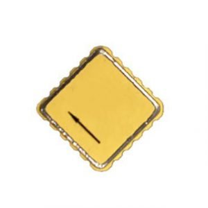
Built-in high-performance MEMS gyroscope and accelerometer, the gyroscope measurement range is ±400°/s, and the bias instability is <0.3°/h. The measurement range of the accelerometer is ±10g, and the bias stability (Allen curve) is <10ug.
**Full-band full-system**
Built-in dual-antenna positioning and orientation GNSS module, supports GPS/BDS/GLONASS/Galileo/QZSS, and can perform high-precision and fast positioning and orientation. And it is compatible with all frequency points, and can obtain the best positioning effect anywhere in the world.
The built-in satellite receiver has strong anti-interference ability and can still provide accurate positioning in complex electromagnetic environments.
**Small size, high reliability**
The size is 65×70×45.5mm, the weight is less than 300g, and the aluminum alloy shell is used to ensure the reliability of the product.
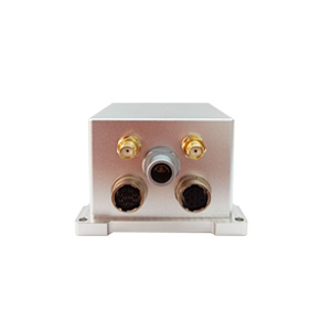
Supports multiple communication interfaces such as RS422, RS232, CAN, TTL, etc. The operating temperature range can reach -40°C to 80°C, which is suitable for most working environments.
In summary, the GNSS combined navigation system provides a high-precision, high-reliability and continuous navigation solution by integrating the advantages of GNSS and INS, and is widely used in many fields.
More Technical Questions
1. What Is GNSS-aided MEMS INS and How Does It Work?
2. How to Improve the Performance of MEMS Inertial Navigation Systems?
3. Why Should We Use MEMS GNSS/INS?
4. Classification And Performance Improvement Of MEMS Gyroscope
5. MEMS Accelerometer Packaging Technology
6. Performance Analysis of GNSS RTK Timing


