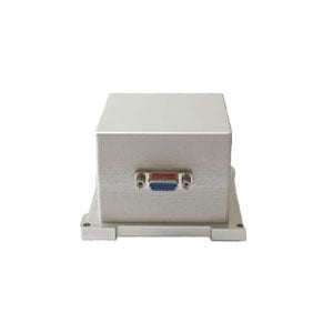
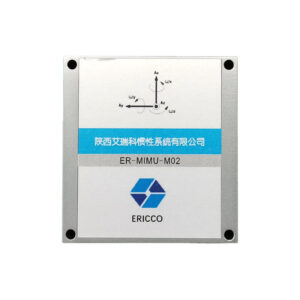
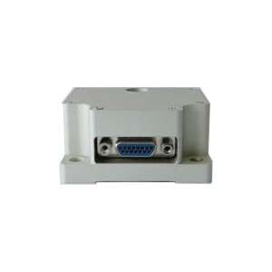
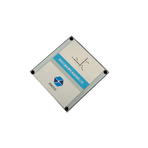
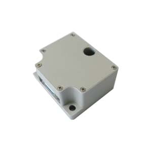
Today, I will introduce to you an IMU product that can be used in the fields of aerial surveying, ground surveying, and marine surveying-the ER-MIMU-14 series from ERICCO.
So, let's take a closer look at the ER-MIMU-14.
Sophisticated design
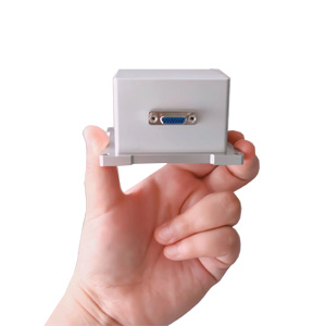
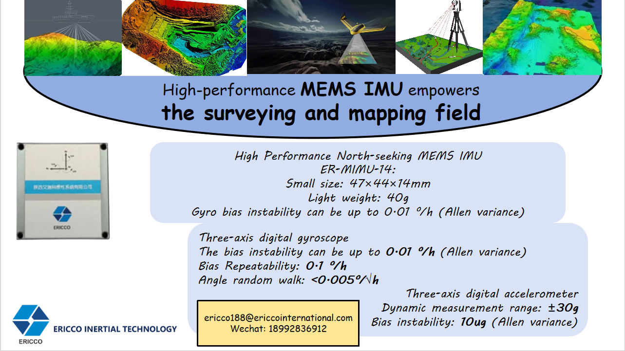
ER-MIMU-14 has amazing size and weight advantages. Its size is only 47×44×14mm, which is small enough to be easily integrated into various devices. And its weight is as light as 40g. This small and light feature does not add too much burden to the installation equipment, and has an advantage that cannot be ignored in application scenarios with strict requirements on equipment weight and volume.
Excellent performance
The performance of the gyroscope and accelerometer used in this product is quite outstanding. For the gyroscope, its zero bias instability can reach 0.01 º/h (Allen variance), bias repeatability is 0.1 º/h, and angle random walk is less than 0.005 º/√h. These data ensure the high accuracy and stability of the measurement results, providing reliable guarantees for applications such as precision attitude control. As for the accelerometer, it has a dynamic measurement range of ±30g, a bias instability of 10ug (Allen variance), and a built-in high-performance temperature calibration and compensation algorithm. By performing error compensation on the output data, it has accuracy guarantees in the full temperature range of -40℃ to 80℃.
Excellent performance
In terms of power consumption, ER-MIMU-14 performs well, and the low power consumption of only 2W enables the device to effectively reduce energy consumption during operation. The product is equipped with an SPI communication interface, which provides a convenient channel for data transmission and interaction between devices.
In aerial surveying and mapping, the data provided by IMU can help achieve high-precision positioning and three-dimensional modeling on the earth's surface. Equipped with IMU, it can improve the accuracy and efficiency of surveying and mapping, and provide reliable data support for urban planning, traffic management, environmental protection and other fields.
In ground surveying and mapping, IMU can obtain carrier information in real time to improve the accuracy and reliability of data. IMU can play an important role in road measurement, land measurement and resource assessment in urban construction planning.
In ocean mapping, IMU works with other equipment to provide support for accurate mapping and seafloor topography research. IMU can also play an important role in areas such as submarine pipelines and offshore oil development. It can be said that ER-MIMU-14 can demonstrate extraordinary value in many fields!
More Technical Questions
1.IMU working principle & Tactical grade IMU product recommendations
2.Choosing an IMU: FOG IMUs vs MEMS IMUs
3.Application of IMU in the Field of Drones
5.What is the Difference Between IMU and AHRS?


