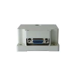
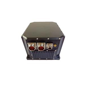
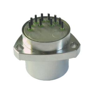
Inertial Navigation System-INS is an autonomous navigation system that does not rely on external information and does not radiate energy to the outside. Its working environment includes not only the air, the ground, but also underwater. The basic working principle of inertial navigation is based on Newton's laws of mechanics. By measuring the acceleration of the carrier in the inertial reference system, integrating it with time, and transforming it into the navigation coordinate system, we can get the value in the navigation coordinate system. Information such as speed, yaw angle and position.
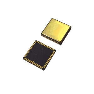
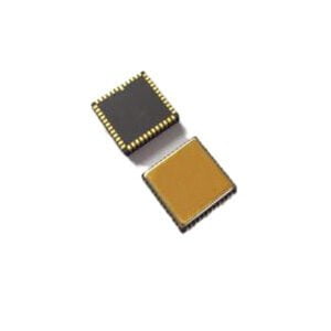
My country started relatively late in inertial navigation research. Feng Peide of Xi'an 618 Institute was one of the main people in charge of the development of my country's first aviation inertial navigation system using liquid-floating inertial devices. The successful development of this system laid a solid foundation for the development of my country's aviation inertial navigation. Base. However, great progress has been made in recent years, and it has played an important role in various fields of military and civilian use. ERICCO vigorously develops inertial products by virtue of Xi'an's geographical and theoretical advantages and has developed a variety of inertial navigation devices, among them, the high performance north finder ER-MG2-50/100 and smallest size triaxial mems north seeker are represented and some achievements in this area have promoted the further development of China's inertial navigation system.
Inertial Navigation System Application
Aerospace field
Inertial Navigation systems were first used in rocket guidance, and American rocket pioneer Robert Godard experimented with early gyroscopic systems. During World War II, it was improved by the German von Braun and applied to V-2 rocket guidance. After the war, research institutions and personnel such as the Massachusetts Institute of Technology in the United States conducted in-depth research on inertial guidance, thereby developing into a modern inertial navigation system applied to aircraft, rockets, space shuttles, and submarines. However, the cost and complexity limit its application.
Intelligent electronic equipment field
Many of the country's strategic and tactical weapons, as well as civil aircraft flying intercontinental, must rely on inertial navigation systems or a combination of inertial navigation systems and other types of navigation systems. Its cost is relatively expensive. A navigation-level inertial navigation system costs at least hundreds of thousands, and this kind of precision navigation system is enough to be equipped on aircraft such as Boeing 747. Now, with the advancement of MEMS inertial device technology, commercial-grade and consumer-grade inertial navigation has gradually entered the homes of ordinary people.
Petroleum exploration field
In resource exploration, inertial navigation system is mainly used to measure the trajectory of the well and the actual position of the bit, so as to ensure that the well depth reaches the predetermined position. With the depletion of petroleum resources, exploration and development becomes more and more complicated, so higher precision and more reliable oil inclinometer are needed. The application of inertial technology can meet this requirement. By using high-precision and high-resolution inertial and magnetic sensors to accurately measure engineering parameters such as inclination Angle, azimuth Angle and tool face Angle during drilling, real-time monitoring of well trajectory and bit position can be realized.
Uav field
Through the use of inertial devices and inertial navigation system, the UAV can provide accurate speed, position and attitude information, so as to achieve accurate navigation positioning and attitude control. At present, the application of UAV in the military field is the most mature, and at the same time, with the deepening of people's cognition of UAV. It has shown rapid development in civilian fields such as remote sensing mapping, border and coastal defense, forest fire prevention, pipeline patrol, emergency relief, police law enforcement and so on.
Only using the accelerometer and gyroscope in the mobile phone, and through the multi-sensor fusion algorithm, under most application conditions (the acceleration received by the carrier is mainly the acceleration of gravity most of the time), better attitude information can be obtained. However, if only these two sensors are used for traditional inertial navigation, valuable position data cannot be obtained due to long-term accuracy issues. If a similar application is implemented on a mobile phone, such functions are usually implemented with GPS. Some places without GPS signals, such as indoor mobile phone positioning in large places, are usually dynamic through inertial navigation, and long-term accuracy is corrected through indoor base stations (Cell/WiFi/BT). is used for such occasions.
More Technical Questions
1.What is Inertial Navigation System?
2.What is INS and How does it Work?
3.In Autonomous Flight: How Inertial Navigation Systems Work
4.MEMS and FOG: How Should you Choose Inertial Navigation System?
5.Introduction to Inertial Navigation Systems
6.Inertial Navigation System (INS)
Products in Article
