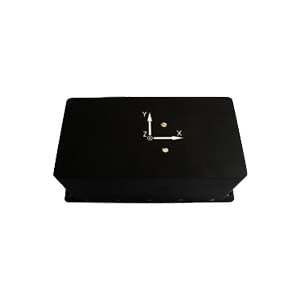
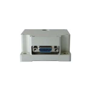
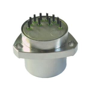
High Precision Handheld
Introduction
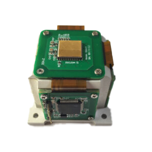
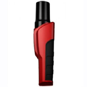
The product belongs to the centimeter-level world's latest technology, stable and reliable industrial-grade High Precision Handheld. Connect smartphone via wireless bluetooth, view, store and forward high-precision location data on smartphone. Positioning accuracy can reach 2 cm, BEIDOU GPS GLONASS GALILEO four systems eight-band positioning RTK accuracy of most under the trees, building edge, part of the shelter environment can ensure faster positioning, wider use of the area, the application development easier.
Specifications
Technical indicators-A
| Support operating system | Support android, IOS can be customized |
| Satelliate receive system | Beidou、GPS、GLONASS、GALILEO、QZSS、SBAS |
| Update rate | Default 1HZ (maximum support 20HZ) |
| Initial positioning time | 30 min |
| Hot start time | 10 min |
| Recapture time | 2 min |
| Solve the time | 5 min |
| GNSS precision | Model: positioning precision BD-H10: Four-star eight-band, most of the next, the building edge, part of the shelter environment RTK accuracy can be guaranteed 2CM (RTK) 25 CM (DGNSS) 50CM (SBAS) ≤1.5m (single point positioning) BD-M10: four-star four-band 2 CM (RTK) 25 CM (DGNSS) 50CM (SBAS) ≤1.5m (single point positioning) BD-L10: ≤1.5M (DGNSS) |
| Bluetooth | V4.0 |
| Speed limit | 515m/s |
| Support data format | NMEA-0183 |
Technical indicators-B

Application Techniques
1.What is the Device Interface Definition of MEMS North Seeker
2.What Performance is the FOG sensor in FOG North Finder
3.Where are MEMS Gyroscopes Used?
4.Research Background and Current Status of MEMS IMU
5.How do parameters affect the performance of the quartz accelerometer?
6.Background and Development Status of MEMS Inertial Sensors
More Products
